Methods
Climatic conditions on monthly/seasonal/annual scale at meteorological station locations are assessed by mean daily air temperature [°C] and precipitation [%] anomalies with respect to the corresponding 30-years reference climate period; and according to the associated percentile values. The 1991-2020 normal has been in use since January 2023, when it replaced the 1981-2010 normal used until then.
For the climate assessment, a classification scale is used with limits determined according to the following percentile values: 2nd, 9th, 25th, 75th, 91st and 98th. They are obtained from theoretical distributions which best fits the reference period data: normal distribution and square root normal distribution for temperature and precipitation, respectively (Cindrić et al. 2019).
In addition to displaying percentiles at meteorological station locations, it is important to estimate values throughout the territory, even at locations where there are no measurements. To that end, a subjective interpolation method was used until April 2020, taking into account the percentile values of neighbouring meteorological stations.
Since May 2020, objective kriging mapping method has been implemented for the interpolation of the percentiles. Kriging is a method that takes into account the spatial autocorrelation of all data, not just those from surrounding stations. The influence of the percentile of an individual station is defined by weight factors, which are generally weaker the greater the measurement distance is from the location for which the assessment is made (Perčec Tadić, 2010). As with any other statistical method, estimates can be outside the range of measurement values, which is sometimes observed on maps, especially when at one station the percentile is very close to the limit value of a particular class, and the estimate is slightly lower/higher thus lowering/increasing the estimate. The maps were made by an objective method as rasters with a spatial resolution of 1 km. They are supplemented by county boundaries (State Geodetic Administration) and a scale bar.
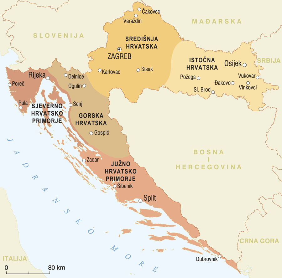
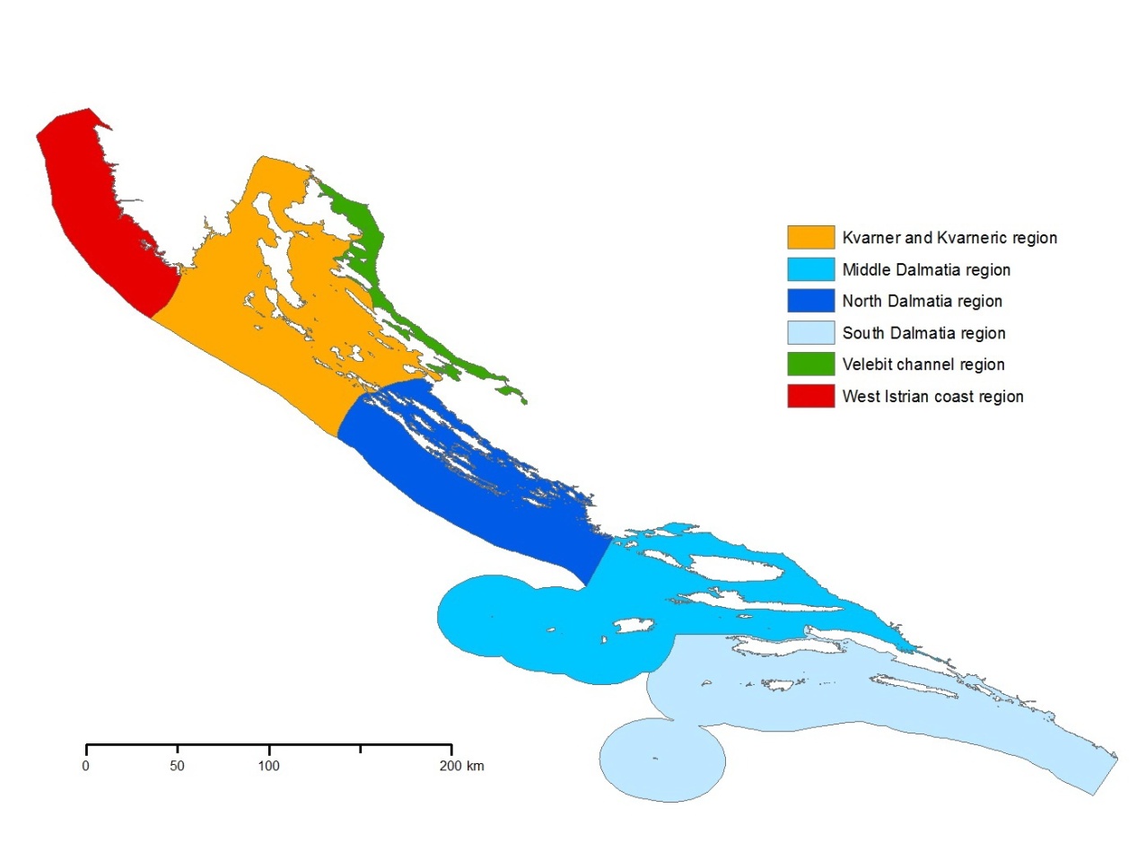
When describing climatic conditions, geographical terms and names of regions from the following sources were used:
Calendar of important changes:
January 2023 - The 1991-2020 climate normal replaced the 1981-2010 normal.
January 2023 - Knin station is no longer used.
January 2021 - Karlovac is no longer used for temperature assessment due to the inhomogeneity of the data.
May 2020. - A new mapping method for percentiles is introduced.
January 2019 - The 1981-2010 climate normal replaced the 1961-1990 normal.